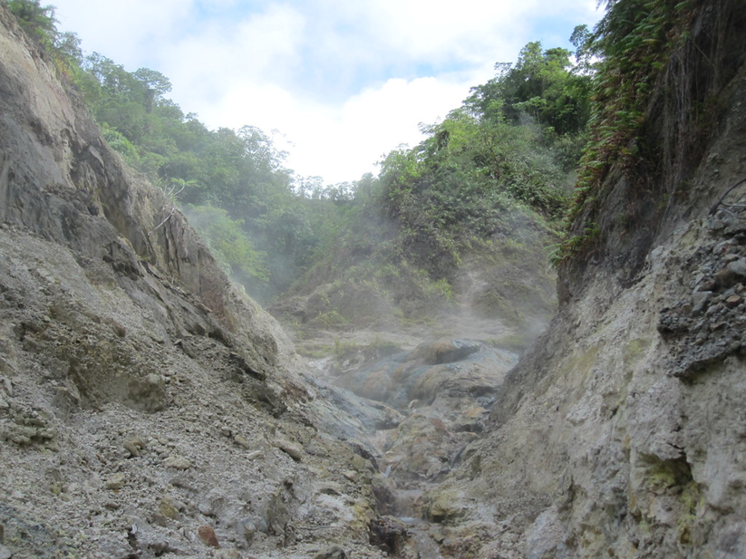
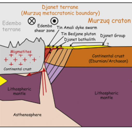
- Volcanic Geothermal Systems would be investigated with surface structural geology field work to analyse visible features including rock lithologies, faults and orientations, intrusions, and thermal manifestations. Prior to this field work, an understanding of the assumed regional and local tectonic plate features should help identify potential local stress distributions, faulting and fault blocks.
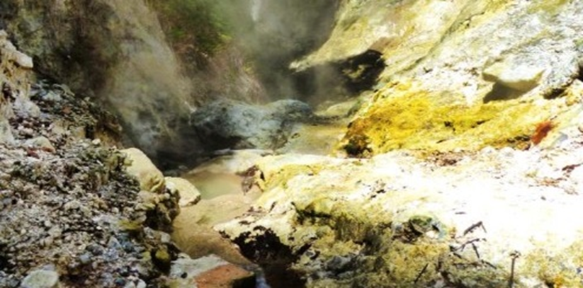
- Some prior aerial visual studies may help identify potential lineaments. Surface manifestations may also help identify some structural controls.
- Analysing fault orientations would help understand maximum principal stresses. In some cases structural patterns may be identified to be related to the deformation of hanging wall rocks on top of subduction zones. Steeply dipping conjugate shear structures may be orientated to maximum principal stress and, if slip occurs, this may contribute to potential fluid pathways with the underlying shallow hydrothermal reservoir.
- Gathering rock lithology data would help identify the nature of volcanic deposits including volcanic ash flow deposits, andesitic-dacitic volcanic debris, interbedded basaltic-andesitic lava flows, volcanic breccias, and the smectite clay alteration layer materials above hydrothermal reservoirs.
- Structural measurements would be performed to describe the orientation of planar and linear features in three dimensions. Planar features could be faults and fracture systems whilst linear features could be indicative of potential shear zones.
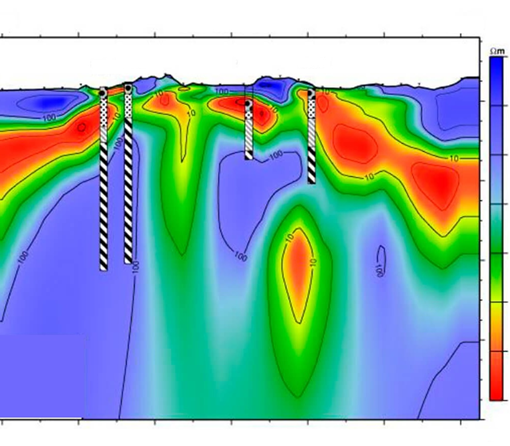
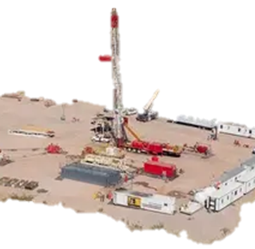
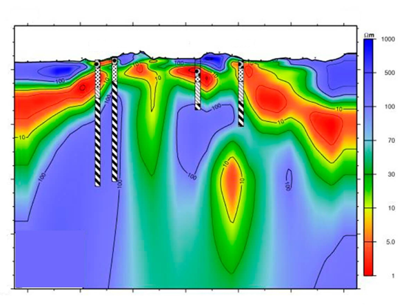
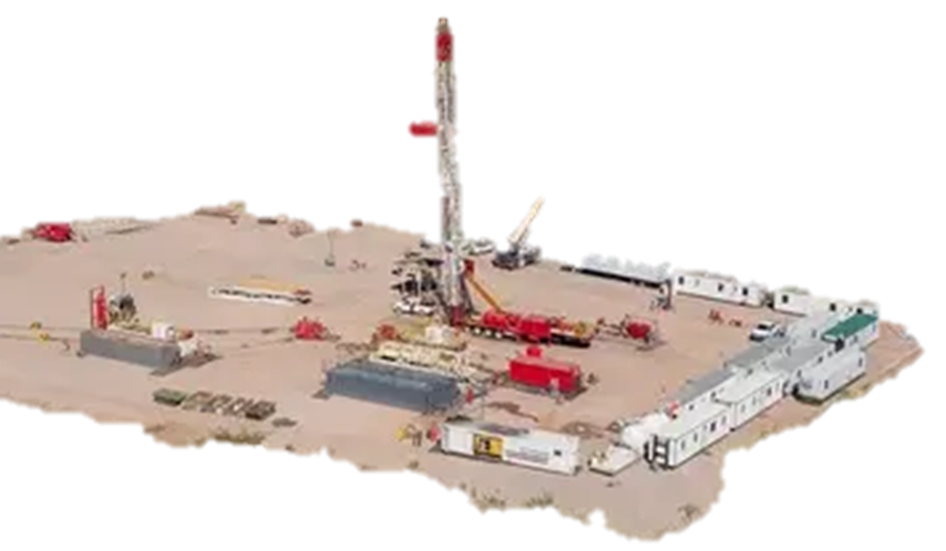
- This geological field data would be combined with the results of geophysical field survey data to prepare structural models and help control well designs, locations, and directionalities.