- Stages of reservoir modelling would utilise the results of Exploration and Development data including geological, geophysical, geochemical and wells.
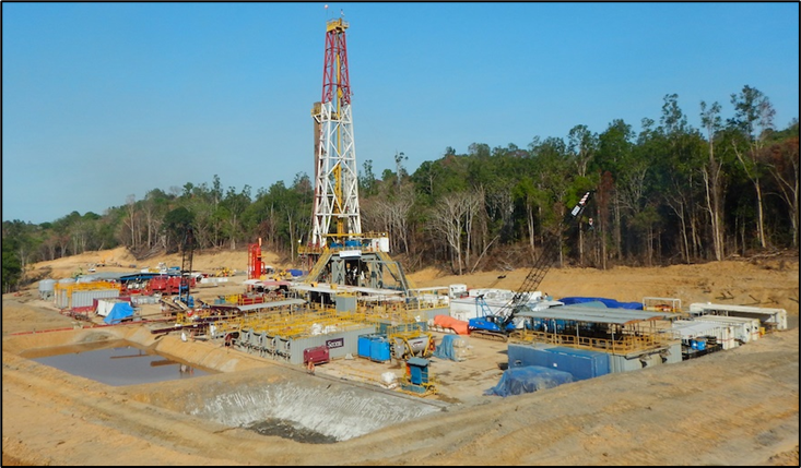
- Prior to Exploration drilling, there would be a conceptual model based on regional and local surface geology combined with geophysical fieldwork (e.g., 3D magnetotellurics) to help locate and plan the Exploration wells.
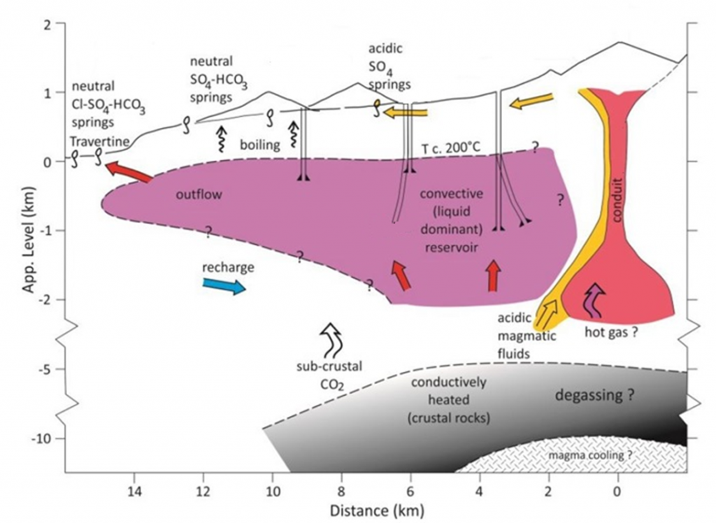
- After Exploration well data is acquired, an initial 2D conceptual geological model (example at left) would be used to construct 3D geological models able to be used in 3D numerical simulation modelling.
- Boundary conditions would be simulated based on all known data and some stochastic assumptions (i.e., heterogeneity of stratigraphy, layer thicknesses, porosity, effective permeability, fracture distribution, fluid phases, inflow/recharge systems, and upflow details).
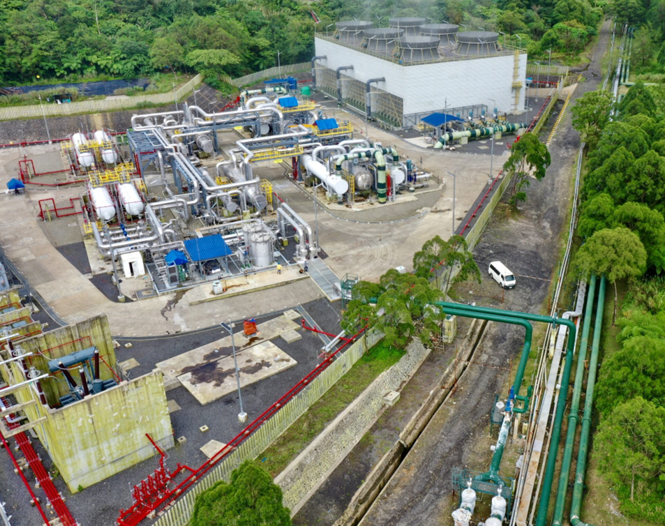
- The simulation modelling would help locate and target Development wells. The results of Development drilling would then in turn help update the modelling to be able to be used during dynamic modelling of production operations to be able to be tuned to represent all inputs and output results. Production optimisation scenarios would be able to be tested based on actual well performance.
