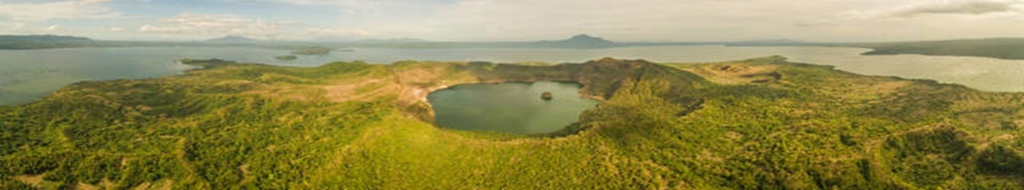
- There may or may not be any current surface evidence of mineralisation. There may or may not be surface manifestations of residual thermal upflows (e.g., thermal springs). Regional and local geological investigations would initially be required to identify areas targeted for field work. Aerial surveys including satellite imaging would likely be performed prior to surface field work.
Aerial:
- Visual / LIDAR / Thermal Imaging
- High resolution magnetometer / airborne gravity gradiometry / aerial 3D magnetotellurics
- Multispectral remote sensing from satellites
Surface:
- Surface geology field work is used to identify lineaments, faults, fracture systems, potential stress directions, alterations, lithologies, and exposed stratigraphy.
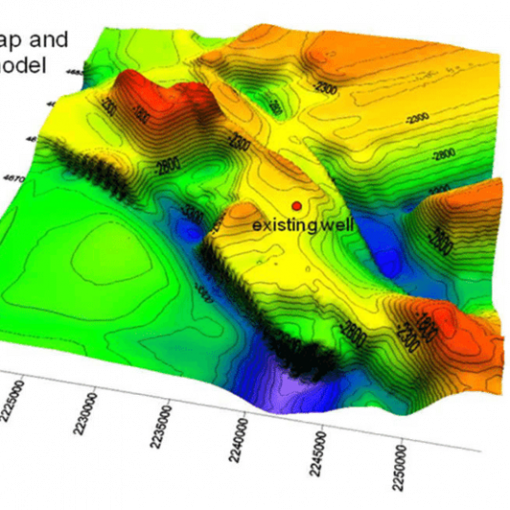
- Geophysical field work: Pulsed electromagnetic Atomic Dielectric Resonance (ADR), Audio-frequency (AMT) / 3D magnetotellurics to obtain surface data associated with subsurface dielectric permittivity and resistivity, and Magnetic and Gravity Surveys. Highly resistive areas can indicate igneous and metamorphic bedrock, volcanic intrusive features, and high temperature alteration zones. More conductive areas can signify pathways for fluid flow, such as porous sediments, fault zones, geothermal fluids, or mineral deposits.
- Geochemical field work collection and testing of fluids (geothermometers), soil samples, and rock samples chemical compositions (lithogeochemistry).
- Small diameter boreholes with diamond core drill rigs to take physical fluid and core samples, and measure temperatures. Data gathered may enable identification of strata and structure (faults, fractures, bedding orientations), and help petrological studies.