It might be useful to review some of the steps we take to explore for low and medium enthalpy Geothermal Energy resources used to economically produce electricity. These steps help limit expenditures whilst prospects are systematically derisked, thereby making them more attractive for funding and finance;
As we have noted previously, there may not be any surface manifestations of these resources, so certain types of field work may be required to locate and investigate these “Blind Geothermal” resources;
Because higher costs are associated with the eventual drilling of wells, we use a sequence of field work that helps progressively mitigate risks as we go along (resulting in a series of “Go” or “No Go” decisions); •Existing knowledge of the regional geology and prospectivity of similar locations would help identify where we want to begin the local exploration field work. Surface geology may provide additional information in the case of intrusive rock features, faults, or exposed stratigraphy;
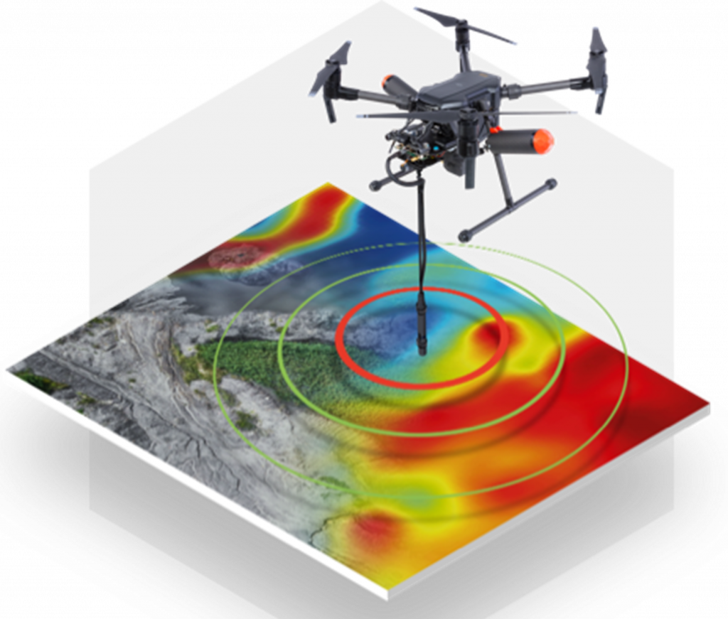
Aerial surveys (planes and/or unmanned drones) can be used to economically perform initial field surveys:
- Visual – helping to visualise features not easily observed from ground level;
- LIDAR – capturing topographic information helping to reveal geologic structures;
- Thermal IR imaging – looking for any less obvious heat signatures not easily observed on the ground;
- High resolution magnetometer – investigating areas of high reservoir permeability and potential thermal up-flow of active geothermal systems;
- Airborne gravity gradiometry – information on mass distribution of the subsurface, particularly constraint of the regional geological setting and characterisation of the local structures and faults;
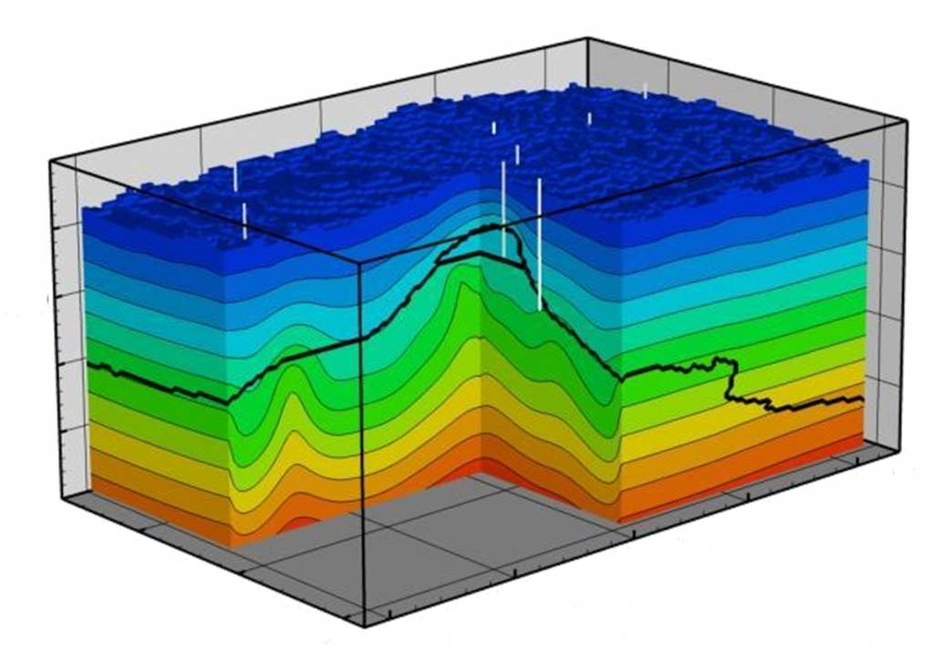
- Aerial 3D magnetotellurics surveys – detection of resistivity anomalies associated with productive geothermal structures, including faults and the presence of a cap rock, and allow for estimation of geothermal reservoir temperatures at various depths;
Conventional seismic surveys would also typically be utilised for sedimentary geothermal resources;
This data would be analysed to help determine where to begin subsurface physical exploration (e.g. Thermal Boreholes).